


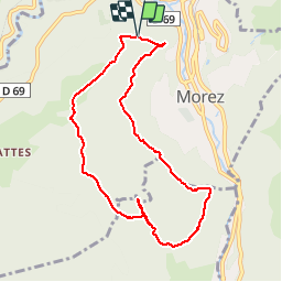

13.8 km | 18.4 km-effort


User


FREE GPS app for hiking
 SityTrail
IGN / Geographical institutes
SityTrail World
The world is yours!
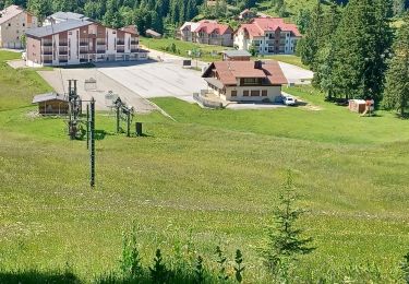
Trail Walking of 8.7 km to be discovered at Bourgogne-Franche-Comté, Jura, Hauts de Bienne. This trail is proposed by margotte.
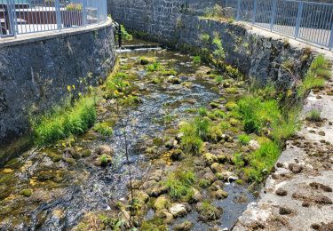
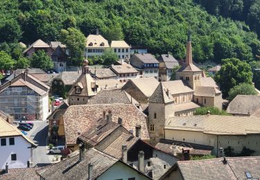
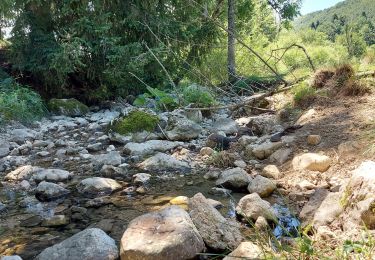
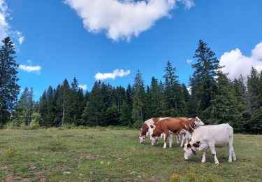
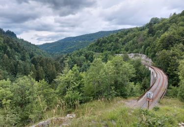
rando forêt et belvédères sur Morez et Morbier. Quelques montées bien raide et notamment pour aller au 3 bornes avec un sentier à ne pas louper, pour accéder à ces dernières, où les bornes sont absentes???

Snowshoes

Bicycle tourism
Bicycle tourism
Bicycle tourism
Walking
Walking
Walking
Walking
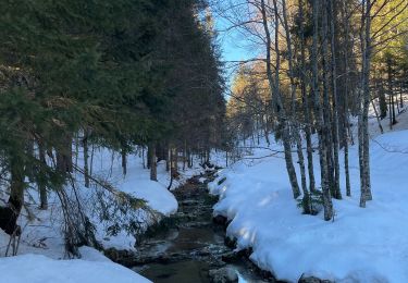
Snowshoes